Advertisement
What causes El Niño rains and why is Kenya expecting them?
11th August, 2026 08:51 AM
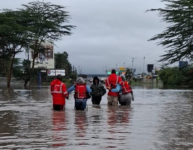
Kenya could experience wetter-than-usual conditions in the coming months as a strong El Niño weather pattern develops in the Pacific Ocean.
The Kenya Meteorological Department has warned that rainfall could increase from October, with the October-December period expected to receive above-normal rainfall in several parts of the country.
But what causes El Niño, and how can a change in ocean temperatures thousands of kilometres away affect Kenya’s weather?
What causes El Niño?
El Niño is a natural climate pattern that begins with unusual warming of sea surface temperatures in the central and eastern tropical Pacific Ocean.
According to the World Meteorological Organisation (WMO), this warming affects atmospheric circulation and can shift normal weather patterns far beyond the Pacific region. The changes can influence rainfall, temperatures and wind patterns in different parts of the world.
For East Africa, El Niño is commonly associated with increased rainfall during the October to December short-rains season.
The warming of the Pacific changes the movement of air and moisture in the atmosphere. These changes can strengthen or weaken weather systems over distant regions, eventually influencing where clouds form and where rainfall occurs.
How does this bring rain to Kenya?
Kenya’s rainfall is influenced by several large-scale climate systems, meaning conditions in distant oceans can affect the country’s weather.
According to the WMO, El Niño is often linked to wetter-than-normal conditions in East Africa, particularly during the October to December period.
However, El Niño does not work alone. The Indian Ocean Dipole (IOD), another climate pattern involving differences in sea surface temperatures across the Indian Ocean, also plays an important role in determining how much rain Kenya receives.
When these systems occur together in a way that favours increased moisture and rising air over East Africa, the country can experience more frequent or heavier rainfall. This is why El Niño does not necessarily mean that every part of Kenya will receive the same amount of rain.

Why Kenya is expecting the rains
The current concern comes from forecasts showing that El Niño conditions are developing and are expected to strengthen. El Niño conditions have developed in the tropical Pacific and are forecast to intensify, increasing the likelihood of extreme weather in affected regions.
In Kenya, the Meteorological Department has projected above-normal rainfall from October. Recent forecasts have also placed a high probability on the 2026 El Niño becoming very strong and continuing into the later part of the year.
The October-December period is particularly important because it is normally Kenya’s short-rains season. When El Niño conditions favour increased rainfall over East Africa, the effect can become more noticeable during these months.
As October approaches, updated forecasts will provide a clearer picture of where the heaviest rainfall is likely to occur.
What the rains could mean for Kenya
More rainfall could benefit farmers, replenish water sources and improve pasture in areas that have experienced dry conditions.
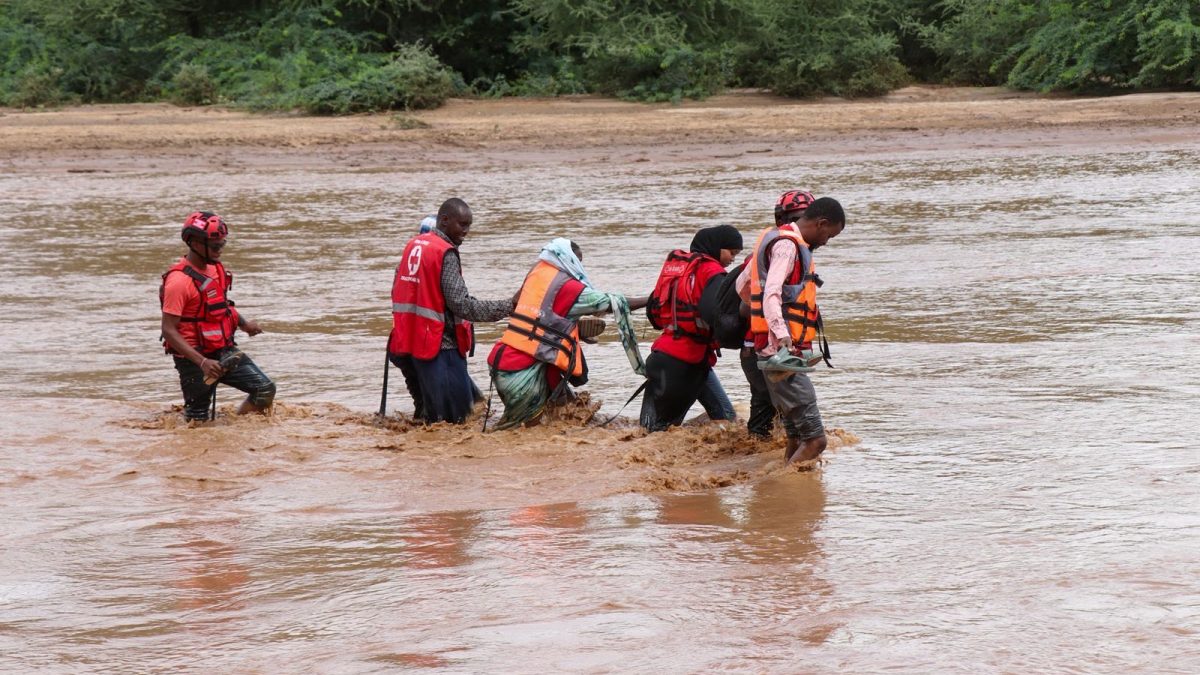
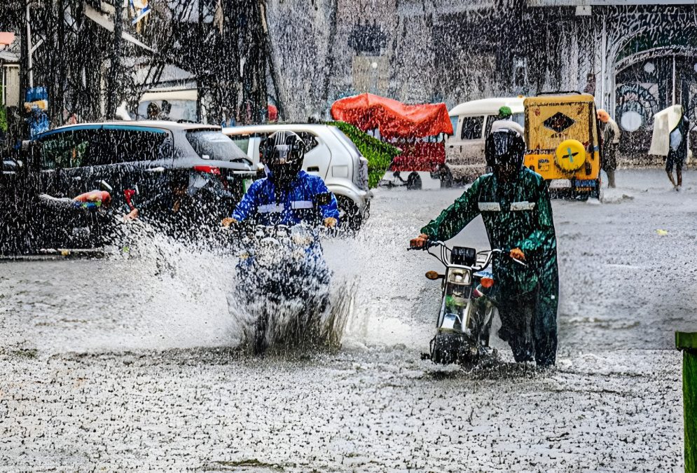
However, excessive rainfall can also create problems. Poorly drained areas may experience waterlogging, while rivers can rise quickly. Heavy downpours may increase the risk of flash floods and landslides, particularly in areas that are already vulnerable. The impact will depend on how rainfall is distributed across the country rather than simply how much rain falls.