Advertisement
Scientists: El Niño under way and threatens weather extremes
12th June, 2026 12:15 AM

El Niño – the natural Pacific weather pattern that pushes up global temperatures – has officially begun, US scientists say.
The US National Oceanic and Atmospheric Administration (NOAA) has declared that El Niño conditions are now under way in the tropical Pacific, with sea surface temperatures having risen sharply in recent months.
Many forecasts suggest this could end up as a so-called “super” El Niño, and even be among the strongest ever recorded.
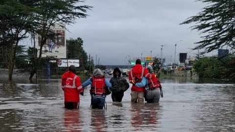
Coming on top of decades of human-caused warming, it could bring another record-hot year – most likely in 2027 – with disruption to weather, food supplies and economies running well into that year.
This announcement by NOAA is not a surprise as forecasters have expected this warming phase, after the cooler “sister” pattern, La Niña, ended earlier this year.
Sea surface temperatures in the central and tropical Pacific have now passed the 0.5C-above-average threshold that US scientists use to define an El Niño event.
“El Niño conditions developed over the past month, as shown by above-average sea surface temperatures (SSTs) across the central to eastern equatorial Pacific Ocean,” the agency said.
NOAA has also seen the winds above the equatorial Pacific begin to shift – a sign that the atmosphere is now responding to the warmer ocean, not just the ocean warming on its own.
What has surprised the researchers is how confident the computer models already are about its strength.
El Niño’s intensity is measured by how far sea surface temperatures rise above average in a key zone of the Pacific.
A strong event is defined as more than 1.5C above average; a very strong one above 2C.
According to NOAA’s June outlook, “there is a 63% chance of a very strong El Niño during November-January, that would rank among the largest El Niño events in the historical record going back to 1950,” the agency said.
The three strongest events since then have been in 1982/83, 1997/98 and 2015/16.
Some of the latest US and European (ECMWF) models go further, showing temperatures in the tropical Pacific potentially climbing more than 3C above average by the end of the year.
But the US agency urged some caution on what their strength prediction implies.
“Even very strong El Niño events do not lead to the expected impact everywhere, but stronger events can more significantly tilt the odds in favour of expected outcomes.”