Advertisement
Cyclone Chenge: What to know about tropical system set to cause heavy rains
26th October, 2025 04:18 PM
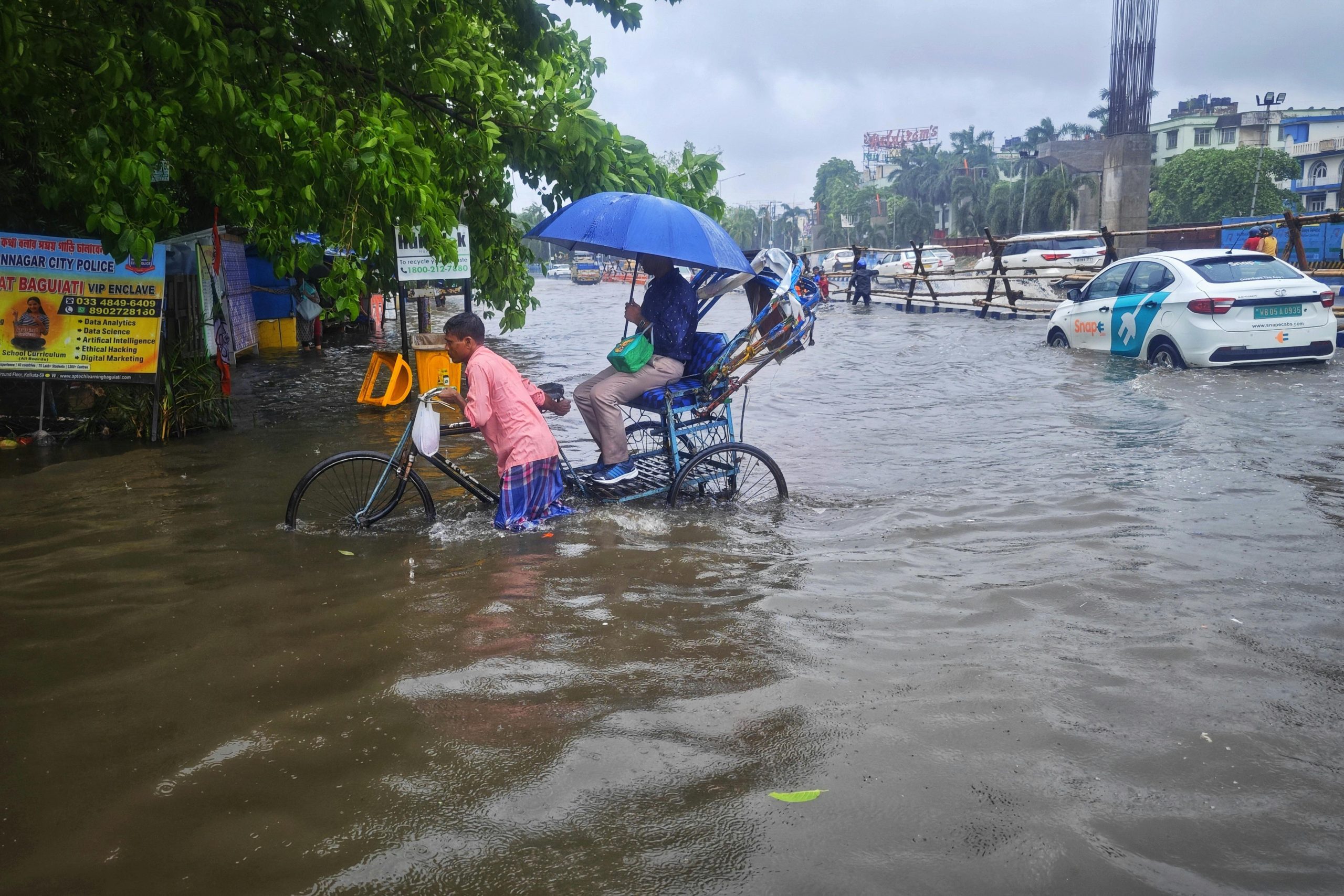
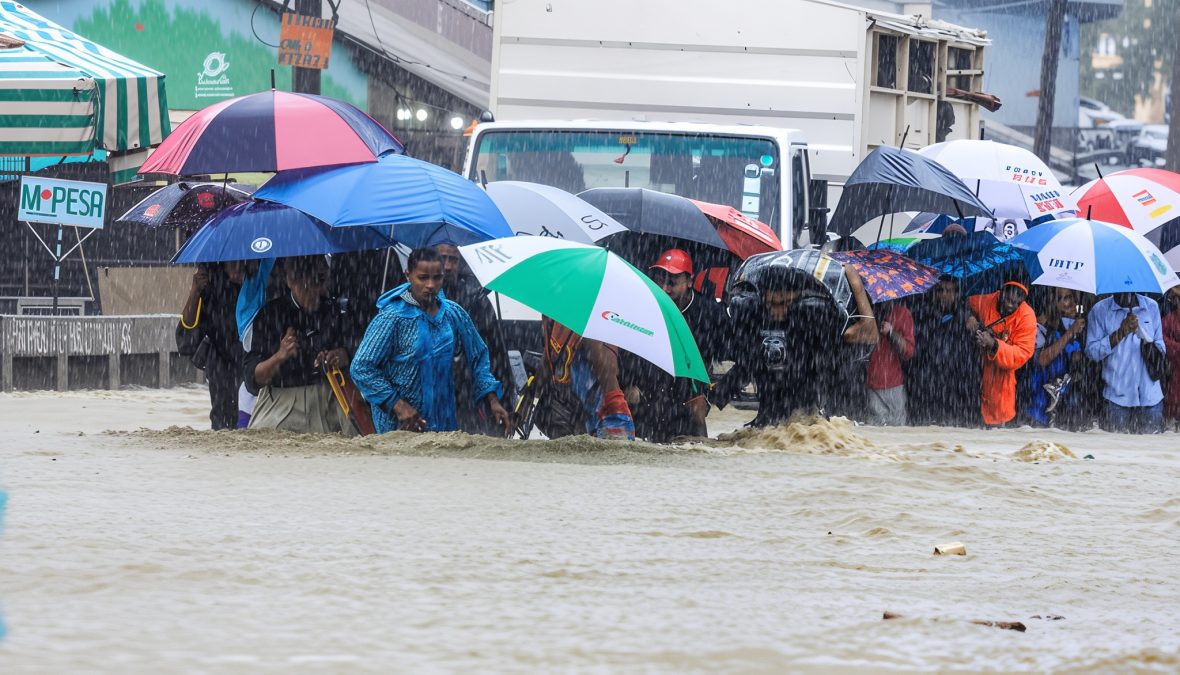
The Kenya Meteorological Department has warned the coastal region of a weakening low-pressure system, which could bring heavy rains and strong winds from Monday October 27, 2025.
In an alert on Sunday, October 26, 2025, the weatherman revealed it was keeping a close eye on tropical storm Chenge, which was moving slowly across the Indian Ocean.
“Heavy rainfall is expected over several parts of the country, with strong winds exceeding 25 knots possible along the south coast on Monday and Tuesday as the system dissipates,” Met said in a statement.
Despite its weakening, the system’s proximity to the coast may influence local weather conditions over southern coastal Kenya and Tanzania early in the week, according to the latest weather alert.
Cyclone Chenge and risks
It is a tropical storm that forms over warm ocean waters. Such storms spin around a center of low pressure, bringing strong winds, heavy rainfall, and possible flooding.
Because oceans are getting warmer due to climate change, cyclones like Chenge can grow stronger, last longer, and affect larger areas.
Here are the key risks for Cyclone Chenge that Kenyans need to know:
Strong Winds: Cyclones can produce powerful gusts capable of damaging roofs, trees, and power lines. The eye wall, the area around the storm’s center, usually has the fiercest winds. Heavy Rainfall and Flooding: Prolonged downpours can overflow rivers and drainage systems, flooding homes and roads.

Storm Surge and Coastal Flooding: When a cyclone hits the coast, it can push seawater inland, flooding coastal towns and villages. Secondary Hazards: Landslides, fallen trees, power outages, and property damage often occur after the storm passes.
Uncertainty: Cyclone paths can change quickly. It is better to prepare early than be caught off guard. Reliable forecasts and early warnings save lives.
Having known the key risks here is how you can stay safe before, during, and after Cyclone Chenge:
Stay informed
Follow updates and alerts from your national meteorological department or local authorities, and know your area’s risk level such as Coastal zones and flood plains face higher danger.
Create an emergency kit
Pack essentials: clean water (at least 3 litres per person per day for three days), non-perishable food, torch/flashlight, extra batteries, first-aid kit, phone charger, and basic tools.
Keep important documents (ID, insurance, emergency contacts) in waterproof containers or bags.
Secure your home
Clear drains and gutters to prevent flooding, trim overhanging branches, and secure outdoor furniture that could be blown away.
Additionally, move valuables to higher shelves or upper floors if you live in a flood-prone area.
Plan for evacuation or shelter
Identify the safest room in your house, ideally one without windows or on a higher level, and know evacuation routes and the nearest emergency shelters.
Importantly, share your plan with family members and neighbours, especially the elderly or those with special needs.
During the storm
Stay indoors and keep away from windows, and follow official instructions. Evacuate immediately if advised.
Avoid driving or walking in floodwaters; even shallow moving water can be dangerous.
After the storm
Wait until authorities declare it safe before going outside, and watch out for hazards such as fallen power lines, unstable buildings, and contaminated water.
Take photos of any damage for insurance or disaster-relief purposes.
Even if Cyclone Chenge weakens or changes course, its effects, heavy rain, floods, and strong winds, can still threaten lives and property. Being prepared and staying alert is the best protection for you, your family, and your community.