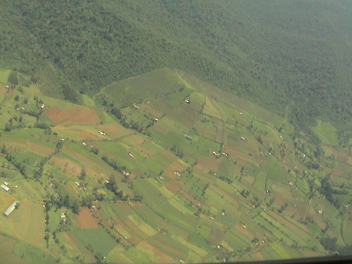
Kenya Forest Service (KFS) has set the record straight over claims of ongoing deforestation and illegal activities at the Mau Forest Complex.
According to KFS, the images purported to be from a satellite depicting massive deforestation in the forest as shared by some media reports contradict the situation on the ground
KFS also acknowledged that the forest has suffered excision, deforestation, overgrazing and encroachment, however, major interventions have helped restore its glory.
It also stated that the enactment of the Forest Act 2007 and later the Forest Conservation and Management Act, 2016, has seen illegal activities significantly reduced by 90 per cent.
“Major interventions include injecting 3300 new rangers and foresters into the KFS workforce, enhanced training and equipping of personnel. It is a well known fact that prior to the enactment of the Forest Act 2007 and later the Forest Conservation and Management Act, 2016, Mau forest complex suffered greatly from excision, deforestation, encroachment and overgrazing,” KFS said.
“Decisive action was taken by the government to commence reclamation of encroached land through Operation Imarisha Misitu since 2023 to date. Subsequently, illegal activities drastically reduced by ninety per cent of reported incidents.”
KFS termed the article misleading and one that lacks factual information as it misinterprets the true situation of the forest.
The forest service additionally underscored that the satellite imagery provided in the article is not corroborated by ground truthing and that the areas coloured purple in the satellite images are outside the forest and within the areas bordering Mariashoni, Likia, Nesuit, Sururu, Olupusimoru, Tinet, Saino and Keringet among others.
“In the said article, the areas colored purple in the satellite images are areas outside the forest and are within the areas bordering Mariashoni, Likia, Nesuit, Sururu, Olupusimoru, Tinet, Saino and Keringet among others.
“The article is therefore misleading, completely lacking in factual information and greatly misrepresents the true situation of Mau Forest Complex which is now a success story. The satellite imagery is not corroborated by ground truthing and is obviously biased and unprofessional,” KFS added.
Further, the forest agency reiterated its commitment to protecting, conserving and sustainably managing forest resources for the current and future generations


