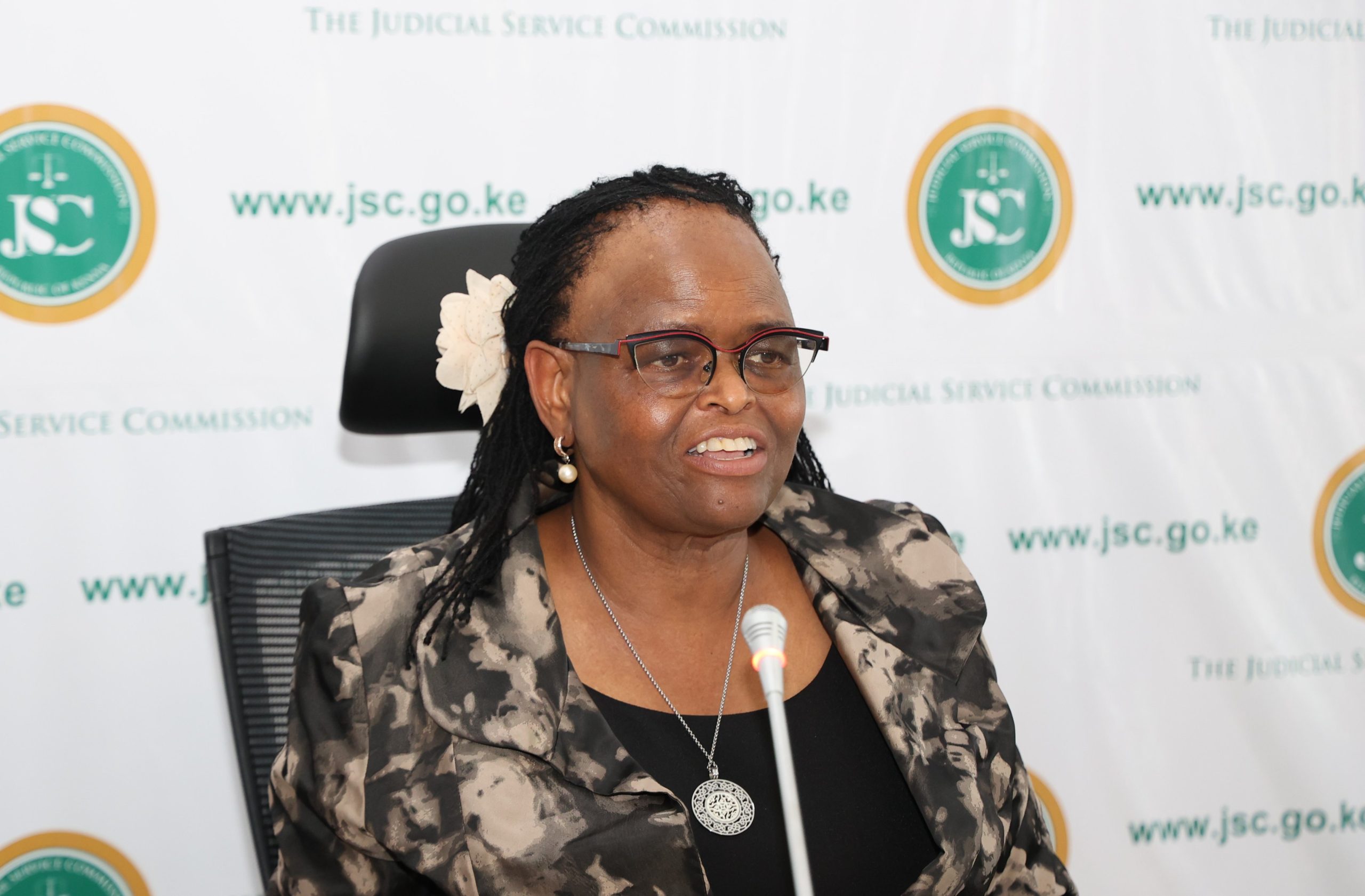
Lands Cabinet Secretary Farida Karoney says a Gazette Notice that declared Isiolo County an adjudication area will be amended to reduce the scope in which the legal notice will apply.
This comes after Isiolo County leaders, led by area governor, Mohammed Kuti, raised concerns about the implications of the Gazette Notice.
Kuti and his team argued that the Gazette Notice will open room for irregular allocation of land to unscrupulous people.
Kuti further said the gazettement will deprive communities living in Isiolo of their land, and that the land in the county will be given to individuals.
And now, Lands minister Farida Karoney says she has listened to the leaders’ outcry, and has, thus, resolved to amend the Gazette Notice to specify the settlement areas where the legal notice will apply.
Karoney further says the schedule of the settlement areas will be complied by Isiolo County Government and formally submitted to her office on November 15.
The CS, however, says the ongoing survey and demarcation of Isiolo will not be interrupted.
Karoney, in a statement to newsrooms on Friday, further said the Ministry will collaborate with Isiolo County Government in processing title deeds for private and community lands in the county.
Land Adjudication is the process of final and authoritative determination of the existing rights and claims of people to land.
In Kenya, the Land Adjudication Act provides the guidelines for the land adjudication process. These involve determining and recording of rights and interests of individuals residing on registered Community Land for the purpose of facilitating the registration of titles.
The Act dictates that the State works together with the communities in the land adjudication process.
The following process has to be followed to ensure that community members and the public are informed about the process:
1. A formal written petition is delivered to the Commissioner of Lands with a request to have an area earmarked for adjudication. This petition is copied to the County Commissioner.
2. Land Adjudication Board convenes at the Ministry of Lands to deliberate and approve the adjudication petition.
3. A directive is issued to the Department of Survey based on the results of the Board deliberations to visit the site, conduct reconnaissance of the terrain, and give recommendations.
4. The reconnaissance mission provides its professional recommendations to the Land Adjudication Board for consideration.
5. Based on these recommendations, the Board deliberates and, if satisfied, approves the adjudication request.
6. The Survey Department proceeds to formally survey the areas earmarked for adjudication.
7. After the survey work is complete, the Survey Department generates a Registry Index Map (RIM) of the area and a Land Adjudication register which contains parcel numbers, the name of the owner, size of land and a map sheet number.
8. The map is given to the Ministry of Lands which issues Land Reference Numbers (L.R. Numbers).
9. These, together with the Map of the area are returned to the community for public examination. If all parties agree, the Director of Land Adjudication signs a certificate of finality and the L.R. Numbers are issued to individuals.
10. For the owner to get a title after completion of adjudication process they need to provide: Original and copy of the national identity card, personal identification number from the Kenya Revenue Authority, recent and clear passport photographs, Ksh500 for registration; Ksh500 for adjudication and Ksh250 for the title.
(Additional reporting by mappingnobigdeal.com)

![Karoney says a Gazette Notice that declared Isiolo an adjudication area will be amended to reduce the scope in which the notice will apply. [PHOTO | FILE]](https://k24.digital/wp-content/uploads/2019/11/FARIDA-KARONEY.jpg)


